Printed Maps
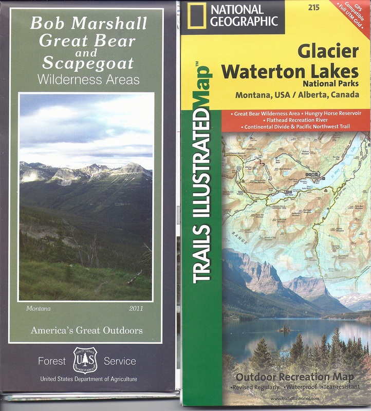
Map-Pak 1 (Northern Montana)
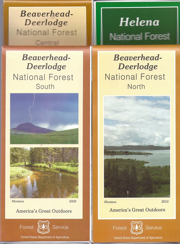
Map-Pak 2 (Southern Montana)
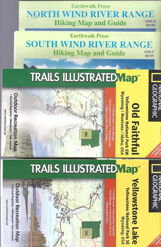
Map-Pak 3 (Wyoming)
|
We offer waterproof maps covering several portions of the Continental Divide Trail. All are topographic except Map-Pak 2.
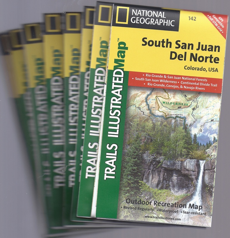
Map-Pak 1 (for use with Guidebook 1): Includes National Geographic 1:125000 map of Glacier National Park (and Waterton), along with the 2012 Forest Service map (1:100000) of the Bob Marshall, Great Bear, and Scapegoat Complex. Map-Pak 2 (for use with Guidebook 2): Includes 4 Forest Service waterproof maps (½ inch = 1 mile, not topographic), plus photocopy of route near Macks Inn. Map-Pak 3 (for use with Guidebook 3): Includes two National Geographic maps of Yellowstone National Park (1:63360), also covering the route south as far as Two Ocean Pass. With two Earthwalk 1:48000 maps covering the Wind Rivers from Union Pass to Little Sandy Lake. Map-Pak 4 (for use with Guidebook 4): Covers all of v.4 south of the Wyoming-Colorado boundary. Includes nine National Geographic maps (Rocky Mountain National Park at 1:59000, 8 others at 1:40680). Map-Pak 4 includes NGS maps 102, 103, 104, 108, 115, 116, 117, 118, and 200.) Map-Pak 5 (for use with Guidebook 5): Covers all of v.5. Includes nine National Geographic maps (La Garita, Weminuche Wilderness and South San Juan Wilderness at 1:63360 or 1:66667, 7 others at 1:40680), plus two xeroxed pages to cover short gaps in other coverage. Map-Pak 5 includes NGS maps 109, 126, 127, 129, 130, 139, 140, 141, and 142.) [National Geographic maps were formerly published by Trails Illustrated (and still retain Trails Illustrated imprint).] |
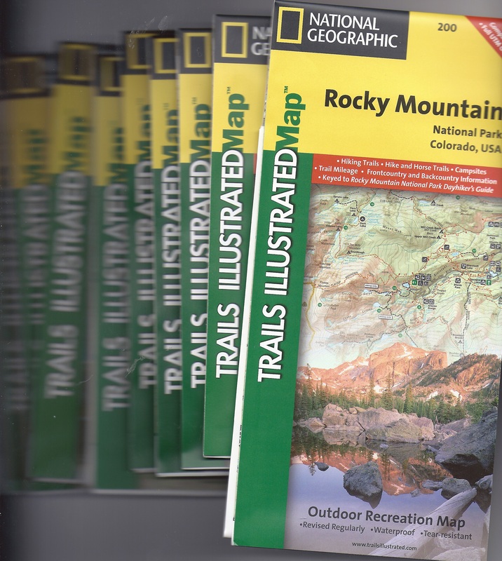
Map-Pak 4 (Northern Colorado
Map-Pak 5 (Southern Colorado)
|